Photo Album GPS Mapping Tool App
By Reverse Engineering Consultants, LLC

Did you know that photos taken by Phones and Tablets often include the GPS coordinates where the photo was taken? These location markers or Geotags are stored in the photos ‘Metadata’. Now you can extract these locations from all your photo albums and view this data on a satellite or standard map with the Photo Album GPS Mapping Tool App for Android!
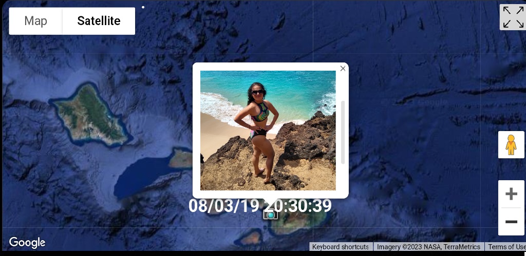
Now you can look back on all your
adventures, seeing exactly where you were when the pictures were taken.
Brought to you by Reverse Engineering Consultants, LLC. The developer of the popular Window's application 'Photo Album GPS Mapping Tool' , now the Photo Album GPS Mapping tool is available as a trimmed down android app.
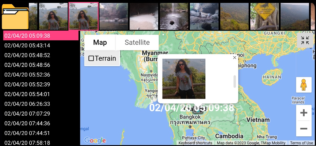
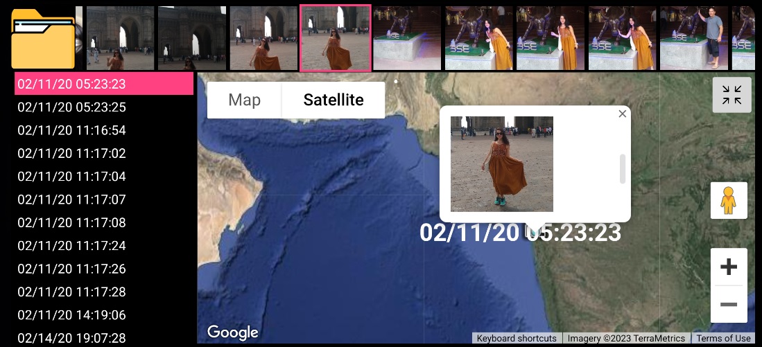
The Photo Album GPS Mapping Tool organizes your photos in both a timeline view and a thumbnail view. The timeline view allows you to see your photos chronologically while the thumbnail view allows you to view the photos visually. Clicking on any view will generate a map for that photo.
Reverse Engineering Consultants, LLC